Lelystad Airport, Lelystad, Netherlands (EHLE / LEY)
Lelystad Airport
EHLE/LEY
Lelystad Airport
Lelystad, Netherlands
Latest photos of Lelystad Airport, Lelystad, Netherlands
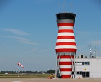
Jan Bekker
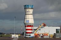
Jan Bekker
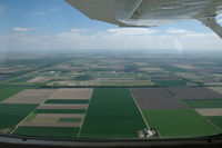
Van Propeller
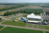
Van Propeller
Lelystad Airport (EHLE/LEY) is a regional airport located in Lelystad, Netherlands. The airfield is situated at an elevation of -13 feet (-4 meters) above sea level. Operations are conducted on 2 runways. The facility operates 8 published communication frequencies. The gallery features 29 photos documenting air traffic and facilities at the airport.
| Type | Description | Frequency |
|---|---|---|
| Approach/Departure | Schiphol Approach/Departure | 119.055 |
| Approach/Departure | Schiphol Approach/Departure | 121.205 |
| Arrival | Schiphol Arrival | 131.155 |
| Arrival | Lelystad Arrival | 134.530 |
| ATIS | Lelystad ATIS | 120.730 |
| Flight Information Service | Dutch MIL Info | 132.350 |
| Ground | Clearance Delivery | 123.680 |
| Tower | Lelystad TWR | 135.180 |
Runway 05/23
| Dimensions | 8,858 x 148 ft (2700 x 45 m) |
| Surface | Asphalt |
| Lighted | Yes |
| Status | Open |
| 05 | 23 | |
| Heading (True) | 46° | 225° |
| Latitude |
52.444820 N 52° 26' 41.35" |
52.461208 N 52° 27' 40.35" |
| Longitude |
5.499542 E 5° 29' 58.35" |
5.528870 E 5° 31' 43.93" |
| Elevation | -12 ft | -12 ft |
| Displaced Threshold | 0 ft | 0 ft |
Runway 05L/23R
| Dimensions | 4,495 x 98 ft (1370 x 30 m) |
| Surface | Grass |
| Lighted | No |
| Status | Closed |
| 05L | 23R | |
| Heading (True) | 48° | 228° |
| Latitude |
0.000000 N 0° 00' 00.00" |
0.000000 N 0° 00' 00.00" |
| Longitude |
0.000000 E 0° 00' 00.00" |
0.000000 E 0° 00' 00.00" |
| Elevation | 0 ft | 0 ft |
| Displaced Threshold | 0 ft | 0 ft |