Airport-Data
Discover
Photographers
Slideshows
API
Aircraft
Search Aircraft & Photo
Browse by Manufacturer
Add New Aircraft
Upload Aircraft Photo
Random Aircraft Photos
Recent Aircraft Photos
Airport
USA Airports
Search USA Airports
World Airports
Search World Airports
Upload Airport Photo
Random Airport Photos
Recent Airport Photos
Community
Sign up
|
Log in
Sign up
Log in
Discover
Photographers
Slideshows
API
Aircraft
Search Aircraft & Photo
Browse by Manufacturer
Add New Aircraft
Upload Aircraft Photo
Random Aircraft Photos
Recent Aircraft Photos
Airport
USA Airports
Search USA Airports
World Airports
Search World Airports
Upload Airport Photo
Random Airport Photos
Recent Airport Photos
Community
Home
USA Airports
Gravelly Valley Airport
Photos
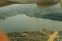
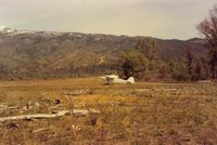
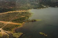
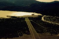
Photos of Gravelly Valley Airport Airport
Browse USA Airports by State
FAA Information
Map & Diagram
Photos
1
2
S B J
S B J
S B J
S B J
S B J
S B J
S B J
1
2