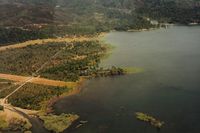
Gravelly Valley Airport Photo

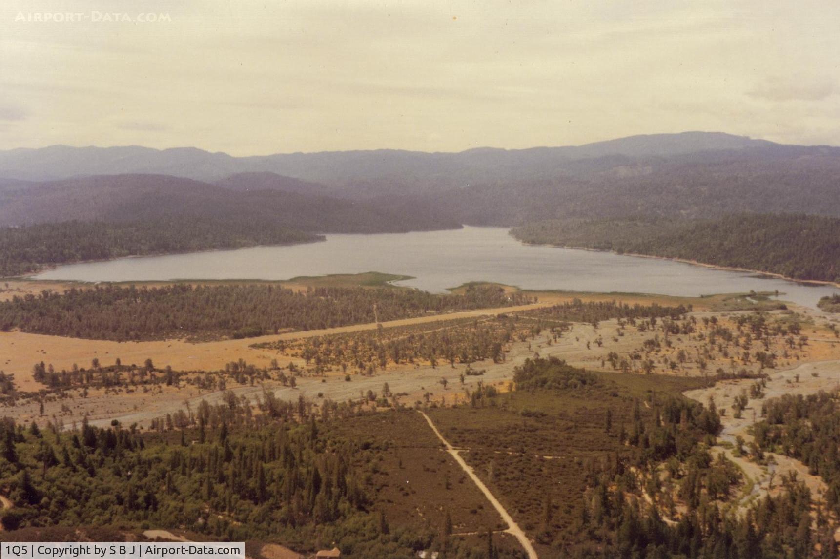
Pillsbury on one of many flights there.View is to the southeast.
Photo Info
Airport Gravelly Valley Airport
Photographer
S B J Contact
Upload Date 2014-05-24
Views 503
EXIF Data
Date Taken 2014-05-24 08:57:54
More photos of Gravelly Valley Airport
Total 23 photos. View all photos
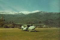
1Q5, Looking at Gravelly Valley airport from the north to the south.The top of Hull Mt.(6873 feet) is seen on the right.The elevation of 1Q5 is 1900 feet. The fire watch building burned down in 1992., photo by S B J
S B J
1Q5, 69E at the north end with view to the south., photo by S B J
S B J
1Q5, 932 at Lake Pillsbury in late winter with the lake at near capacity., photo by S B J
S B J
1Q5, Camping at Lake Pillsbury,Ca in 1992. The wonderful C172 made this (bring Honda) possible.There are a lot of miles of dirt road to explore around the lake and to the top of Mt Hull., photo by S B J
S B J
1Q5, Lake Pillsbury looking west. Because of the mountainous terrain,1Q5 is not pilot friendly when windy. A 25 kt wind contributed to a fatal C172 accident on 5-8-82. At one time there was a cross wind runway which could have helped this unfortunate pilot., photo by S B J
S B J