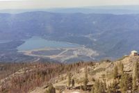
Gravelly Valley Airport Photo

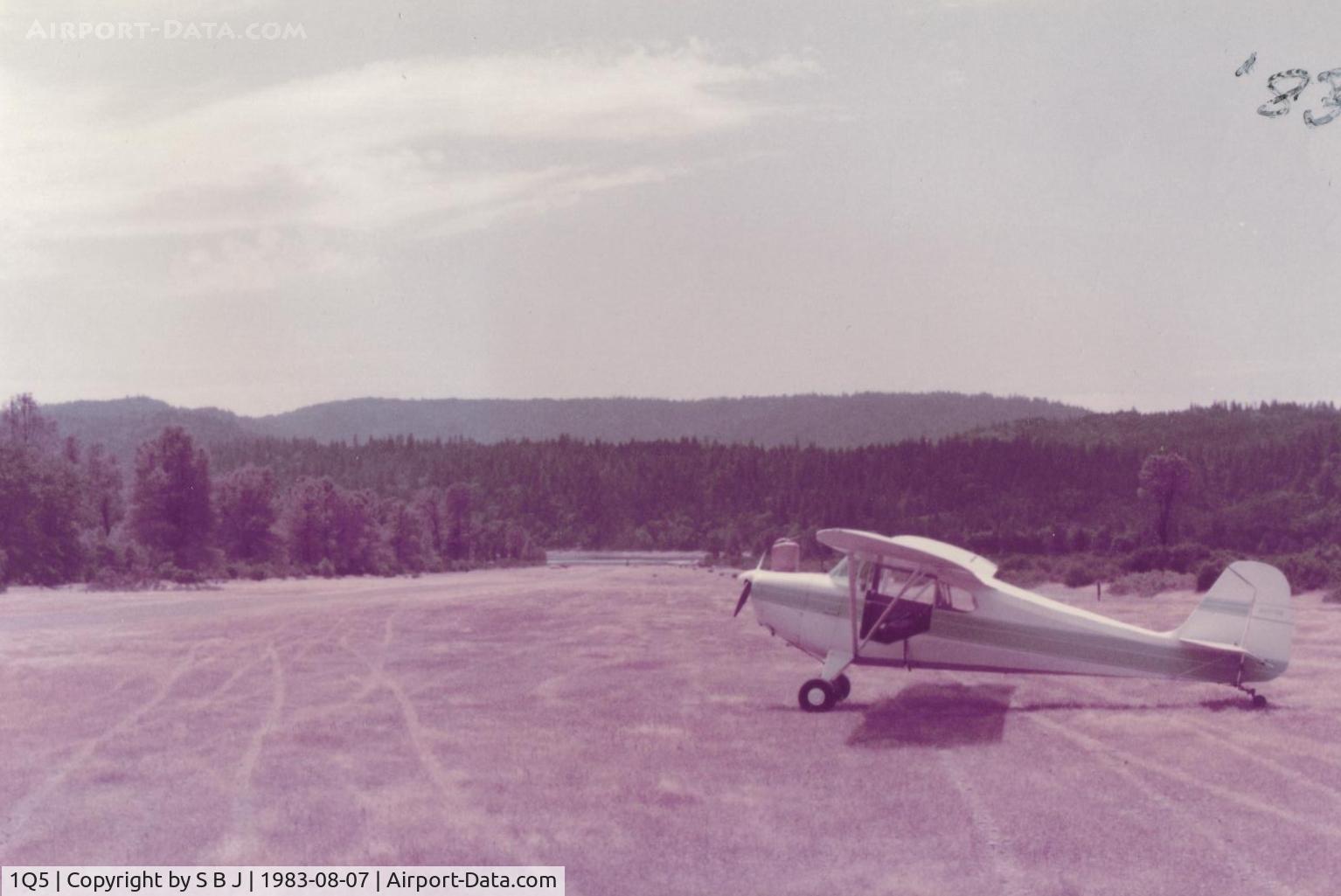
N9078E at the north end of runway.View is to the SW, down the runway and to the lake. While not an absolute one way strip, it is best to take off toward the lake as most pilots do.
Photo Info
Airport Gravelly Valley Airport
Photographer
S B J Contact
Shot Date 1983-08-07
Upload Date 2014-07-20
Views 718
EXIF Data
Date Taken 2014-07-20 11:15:56
More photos of Gravelly Valley Airport
Total 23 photos. View all photos
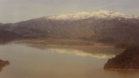
 - 69E at the north end of field with a winter view of Hull Mt.Now that 1Q5 is very near the new Berryessa Snow Mt National Monument,what will happen to 1Q5? I wonder.Monuments have a habit of expanding with all thier restrictions! - by S B J
S B J
 - View is from the south to the north-northwest and Hull Mt with its winter covering of snow. This picture shows why for some aircraft, it is a one way strip. Good size hill to climb over. - by S B J
S B J
 - Looking at Gravelly Valley airport from the north to the south.The top of Hull Mt.(6873 feet) is seen on the right.The elevation of 1Q5 is 1900 feet. The fire watch building burned down in 1992.         - by S B J
S B J
 - View is down runway and to the north.42E is seen departing in the best direction toward the lake. Keep in mind that prop damage (with some tricycle planes) is possible due to gravel runway. - by S B J
S B J
 - Lake Pillsbury looking west. Because of the mountainous terrain,1Q5 is not pilot friendly when windy. A 25 kt wind contributed to a fatal C172 accident on 5-8-82. At one time there was a cross wind runway which could have helped this unfortunate pilot. - by S B J
S B J