Q59 Photo

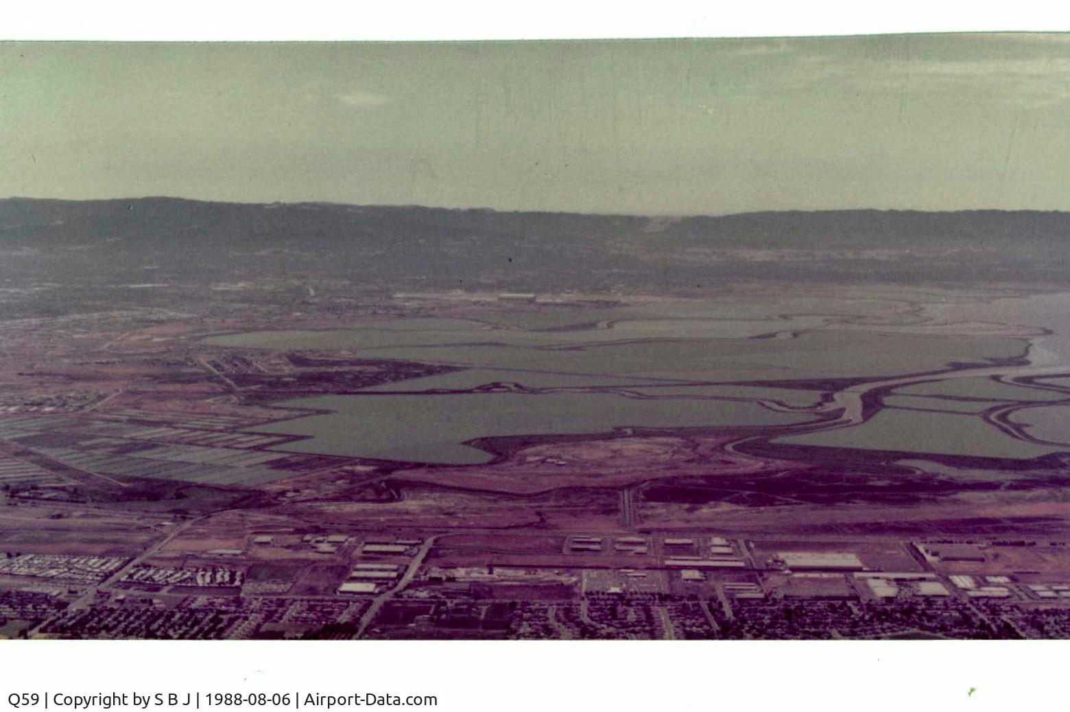
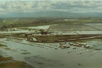
Fremont airport is at the bottom of picture and Moffett Federal airport (NUQ) is above it seen in the distance. View is to the west.Picture is from 1986 soon after closure.Years of following the levees(at safe alt) sure helped flying coordination.
Photo Info
Airport Q59
Photographer
S B J Contact
Shot Date 1988-08-06
Upload Date 2015-05-23
Views 354
EXIF Data
Date Taken 2015-05-23 08:23:53
More photos of Q59
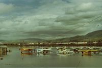
 - Fremont airport in Calif. did flood from time to time when Mother Nature was overly generous.South end planes (left) were OK but north end was 3-4 feet deep. Not so good. View is to the SW. - by S B J
S B J
 - If you looked in the Pilots Guide in 1978 for information on Fremont,this is what you would see.I do take issue with lighted runway.Never saw them. - by S B J
S B J
 - Fremont airport,Calif during one of its many floods and Carl seen in front of his yellow Stinson doing everything he could (raised plane etc) to protect his pride & joy.Few owners I knew cared more for their planes then Carl did.View is NE. - by S B J
S B J
 - Fremont,Ca airport ground view after closing.While it happened many times in many places,this was my frist experience with a dying airport.Very sad after a enjoyable 15 year relationship. View is to the north and down tiedown row. - by S B J
S B J
 - Fremont airport in the SF Bay Area when it was at its peak, was closed in May of 1986. Was a no frills grass roots airport that didnt even have runway lights,only relectors.They worked just fine but planes without lights,then it could be interesting. - by S B J
S B J